Here's How You Can Navigate Highway to Hell
10kms and 4 zones - that's a lot of ground to cover
From the Canning Bridge in Applecross to the Rainbow in Fremantle, we’re closing the entire highway to create the world’s longest stage – and Perth’s playground for the day – for a music spectacular like nothing seen before.
As you can imagine, that requires a lot of navigation and signage!
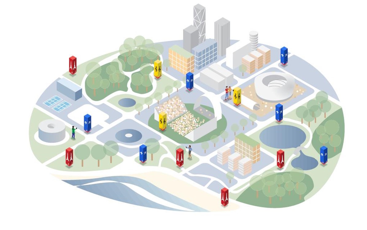
To help you find your way and to reduce the amount of physical signage we use, we’ve teamed up with Markr – a local company who have developed an augmented reality app to help you find your way on the big day.
“As a local business Perth Festival is close to us all so it is an honour to work with the Festival on a project as ambitious as Highway to Hell. The team have been incredibly supportive of our locally created, emerging technology,” said David at Markr.

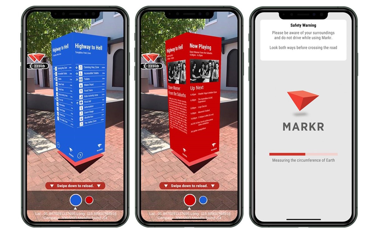
What you can expect to see on the H2H when using Markr
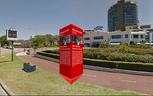
Markr is a new virtual signage system that combines lots of cool technology to provide visitors with customised navigation or event information which is displayed on your phone and in your own language.
You can even see which bands are coming up next at Highway to Hell and find information on the various event zones.
The use of this free navigation app means we can use less physical signage and that is good news for the environment.

It’s a multi-lingual friend in your pocket that brings the most relevant local information right to you at the right place and time.
Simply download the free app from the Google Play store, no registration is required. (Not available on Apple)
For all up-to-date information on Highway to Hell, CLICK HERE.